
Washoe County Neighbors by Parcel
Public sources answer different block questions. The parcel map shows where a lot sits and what is directly beside it. CAMA describes the assessed owner and parcel fields. Recorder documents build a title trail for a single lot, while civic sources show which advisory area serves a neighborhood. None of those systems produces a verified list of every person at an address. Treat the map as a way to identify parcels, then preserve the difference between an owner, an occupant, a voter, and a community contact.
| Source | What It Shows About a Block | Access |
|---|---|---|
| WRMS parcel map | Adjacent parcel polygons, addresses, streets, layers, and links to parcel information | Free interactive map, not survey-grade |
| Assessor CAMA | Current owner, situs, mailing field, parcel number, legal description, and values | Free per-parcel search for assessment use |
| Recorder index | Recorded party and transfer trail for one parcel | Online from November 1991, older counter records |
| Precinct and district map | Precinct, ward, school, commission, and other civic geography | Free address or precinct lookup |
| CAB and advisory pages | Public meetings, geography, appointed contacts, and local issue channels | Free public pages, not a resident roster |
Use this block method for local orientation, property curiosity, and civic participation. If the question expands to a whole named street, the separate Washoe County street directory has the address-by-address record chain. The block method stays close to the subject parcel and the lots that visibly touch it on the map.
Map Washoe County Neighbor Parcels
The Washoe Regional Mapping System, or WRMS, is the practical map for an immediate block. It searches by Address, Street, Street Intersection, or Parcel Number. Select the address suggestion where available, keep the map at a neighborhood scale, and use the identify tool on each parcel polygon beside the subject parcel. The popup can lead to assessment, tax, FEMA, and related-document information. No official buffer or fixed-radius result tool was verified, so visual parcel-by-parcel inspection is the sound approach.
- Find the known address in WRMS and select the subject parcel rather than measuring from a building outline.
- Click each parcel immediately beside it. Record the APN and situs for a small, visible set of adjoining lots.
- Open each parcel's assessment link and compare its owner, situs, mailing field, legal description, and last-document clue.
- Use a document number or party and year to follow a title question in the Recorder. Stop before treating an owner field as a list of residents.
WRMS has parcel, road, imagery, contour, FEMA, fire-hazard, parks, and other layers. Its export control can make a PDF with a title and print size. The county warns that the polygons are not for legal boundary resolution or measurement. That warning matters on close lots, shared drives, easements, and irregular shapes. A map is evidence of map context, not a survey.
Note: Save the map date, parcel number, and address together, because a visible polygon is not proof of a legally measured boundary.
Washoe County Neighbor Parcel Limits
An assessor record can show a taxable owner, a situs address, and a mailing address. It cannot establish every person who lives on that parcel. The mailing field can be a tax-contact destination in another city. A parcel can also carry more than one assessor address. Renters, children, visitors, utility customers, delivery recipients, protected voters, and sealed-court parties are not made visible by a property polygon. A blank or different field is not proof that no one lives there.
This distinction is the central comparison for block research. Official property sources provide defined fields, dates, and a custodian. Commercial neighbor tools combine address, marketing, and public-record information, so they can retain old locations, merge people with the same name, and inaccurately state relationships. Use an official document, a dated map record, or direct voluntary contact to correct a misunderstanding. Do not turn an inferred match into an identity claim.
Washoe County Neighbor Voter Geography
Voter information is a narrow civic record, not a street-wide anonymous lookup. Nevada's individual voter search requires first name, last name, date of birth, a Nevada driver license or ID number or the last four digits of Social Security number, and a CAPTCHA. It can confirm registration-related information, districts, polling location, and participation categories. It never reveals ballot choices. Washoe's address-to-district tool returns precinct, Senate and Assembly districts, commission district, ward, school districts, and related geography for an address or precinct.
A full voter list has a separate statutory route. NRS 293.440 permits a precinct, district, or county list at one cent per name, subject to list rules. NRS 293.558 withholds Social Security, driver-license or ID, and email information. A voter may request address and telephone withholding, and the Nevada Address Confidentiality Program protects qualifying participants. For a Washoe County block, use the district map to understand civic geography, not to make a roster of everyone who may live there.
Note: Registration and voting-history categories are not proof of household membership, contact information, or a person's views on any ballot.
Washoe County Neighbor Community Contacts
Community pages are useful when the real goal is to learn which public meeting or association covers a block. Washoe County has eight Citizens Advisory Boards: Gerlach/Empire, Incline/Crystal Bay, North Valleys, Spanish Springs/District 4, South Truckee Meadows/Washoe Valley/District 2, Sun Valley/District 3, Warm Springs/Rural, and West Truckee Meadows/Verdi. Their members are appointed by commissioners for three-year terms. CAB pages publish public contacts, boundaries, and meetings. They do not publish a directory of every neighbor.
| Community channel | What it offers | Use for a block question |
|---|---|---|
| Washoe Citizens Advisory Boards | Eight geographic boards, boundaries, public meetings, and appointed contacts | Find the county community meeting area and public contact route |
| Reno Neighborhood Advisory Boards | Ward 1 through Ward 5 engagement and project-input meetings | Follow city neighborhood issues and meeting information |
| Nevada HOA inventory | Association existence and contact-custodian direction | Confirm an association, not private member details |
The Washoe County CAB directory shows the county's geographic advisory structure.
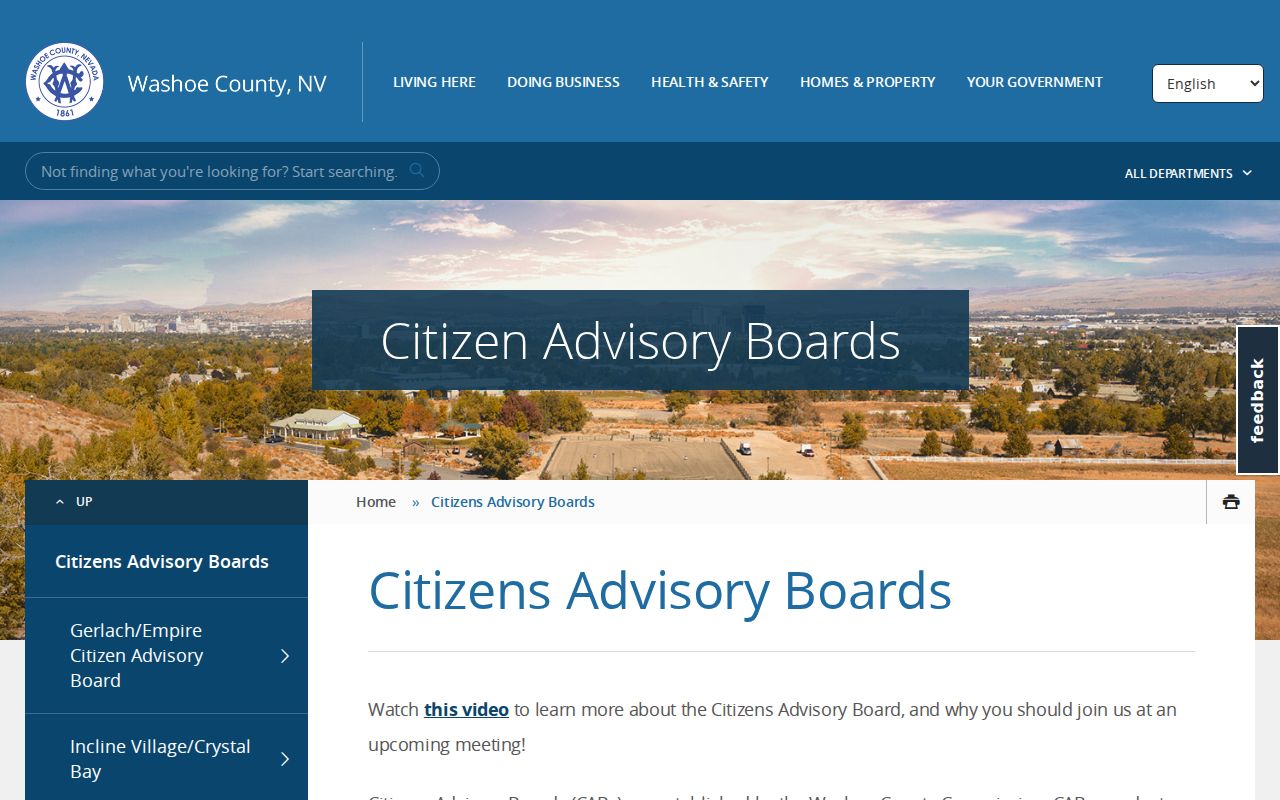
The page is a good starting point for people who want public meeting areas and contacts without seeking private household information.
The Warm Springs/Rural CAB page is one local example of the meeting and membership format.
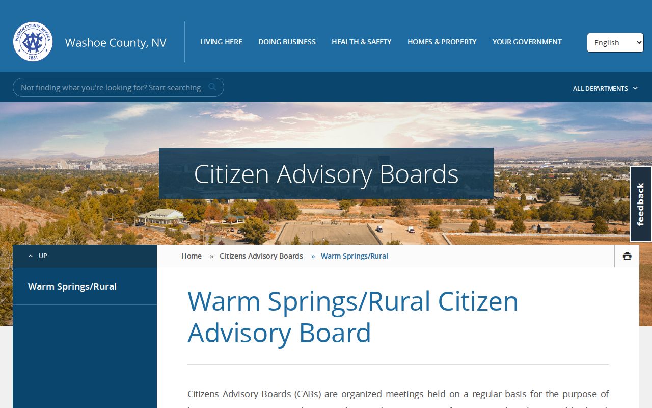
Warm Springs/Rural lists a public meeting schedule, while the broader CAB system remains a civic-contact layer rather than a member roll.
For association verification, Washoe's 311 guidance points to the Nevada Business and Industry HOA-list custodian. Countywide member directories were not located, and no public Washoe-wide congregation, block-watch, or civic-club roster was identified.
Washoe County Neighbor Block History
Permits and code cases can add dates and property history to an immediate block. Washoe guidance routes permit and property-code questions to OneNV and county CSD resources. An available case can include a case number, address, status, date, description, and sometimes names or contact fields. Public visibility varies, and criminal enforcement can stay sensitive until closed. A permit describes work or an alteration. It does not prove that a named applicant lived at the parcel.
The OneNV service route is the county's entry point for the permit and code process.
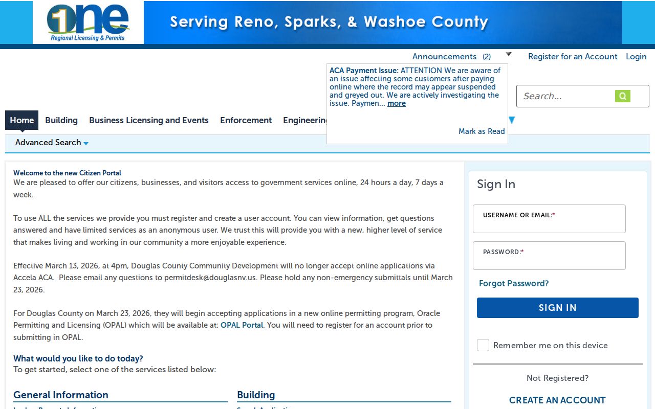
For this block workflow, record the address or APN and the event date, then describe the result as a property event rather than an occupancy claim.
The county's property and code guidance explains the address and APN route for these records.
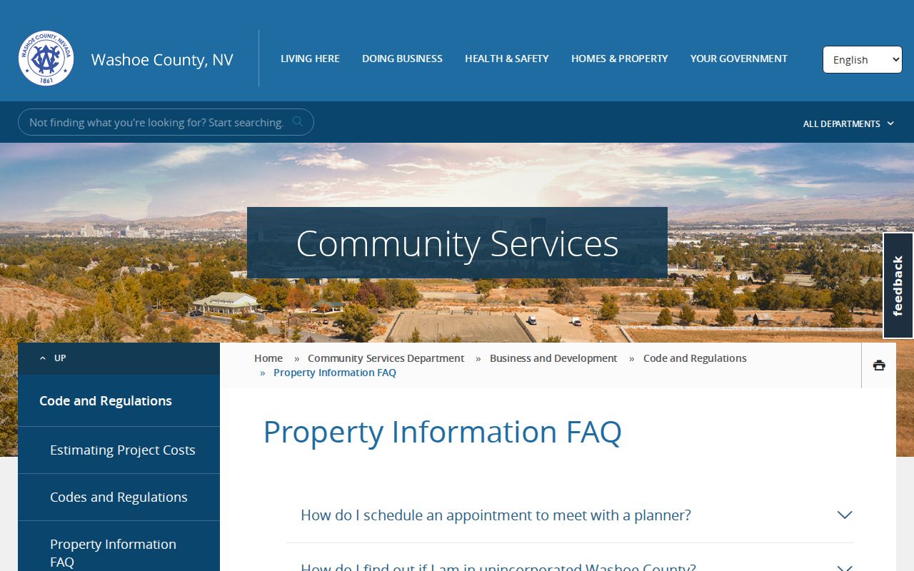
That source helps keep block history tied to the official case or permit reference instead of a rumor about a nearby parcel.
Reno Number Changes for Washoe County Neighbors
Addresses around Reno have a local continuity quirk. The Truckee River divides north and south numbering, and Virginia Street divides east and west numbering. Blocks advance from those grid lines, with downtown exceptions. The ordinance permits an old number to remain for up to 60 days after notice of a change. When a current parcel does not match an older notice or directory line, compare the APN, legal description, street-name history, and date before discarding the result.
The Reno street-numbering ordinance documents the grid rules that can affect a Washoe County address check near municipal boundaries.
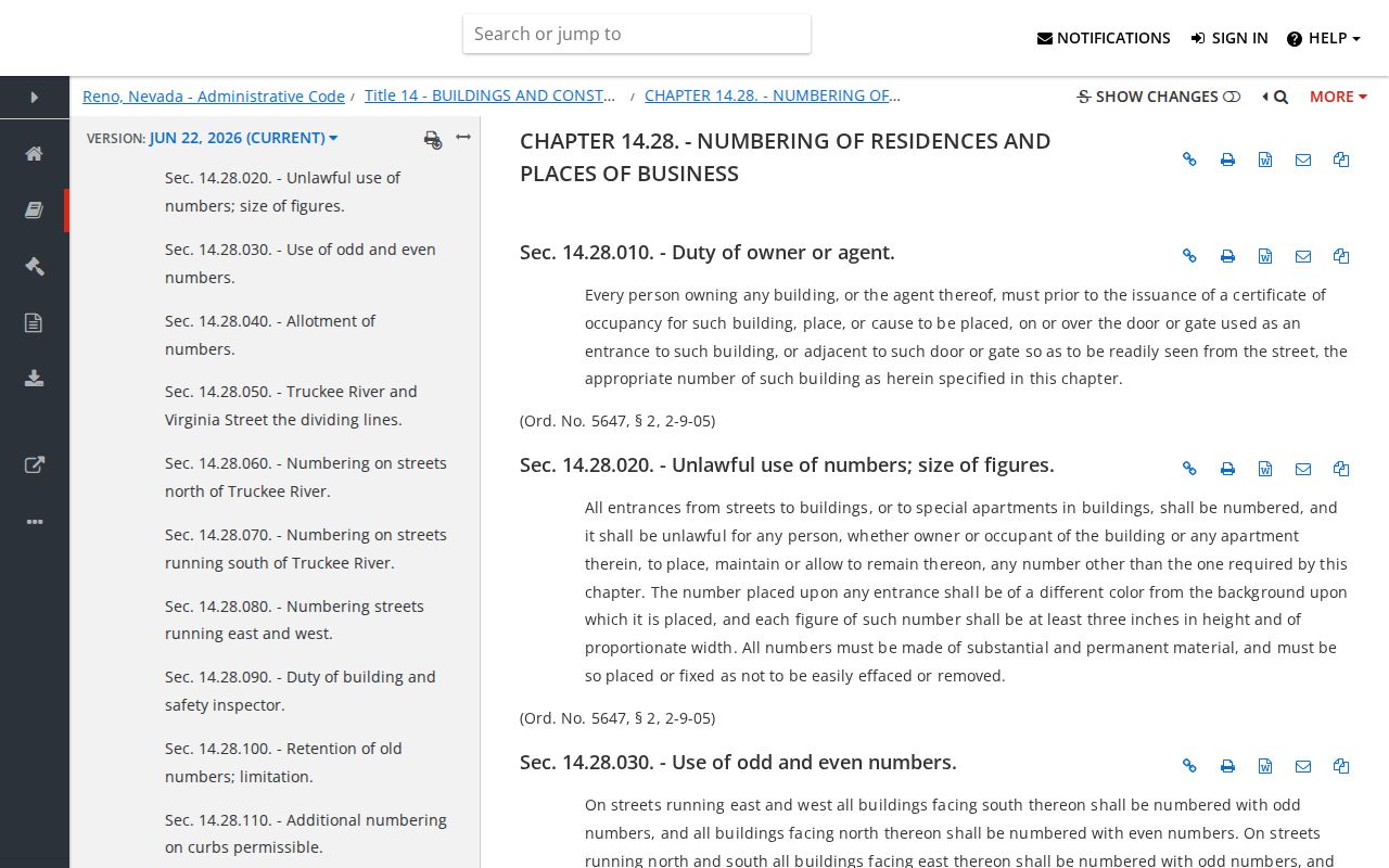
Street renames add another comparison point: 2021 Experience District changes included Roselite Drive to Red Drive and Great Park Avenue to Experience Avenue, so both versions may be needed for a dated record trail.
Note: An APN and legal description usually survive an address change more reliably than a street name or block number.
Washoe County Neighbor Privacy Limits
A neighbor search should stop at the scope of the public record. Protected voters can use address and telephone withholding or the Nevada Address Confidentiality Program. Vital certificates, sealed or juvenile court records, adoption files, and DMV addresses follow separate privacy rules. Recorded-document protections may require a court order under NRS 247.520 and NRS 247.540. The fact that a parcel and an owner field are public does not make every personal detail connected to the address public.
| Official block source | Commercial neighbor profile |
|---|---|
| Shows defined parcel, case, voter-geography, or meeting information from a named custodian. | Can combine public filings, address histories, and marketing data into a profile with unknown update dates. |
| Lets a researcher compare document dates, source limits, and protected fields. | Can merge same-name people, preserve old addresses, or state household links inaccurately. |
| Offers a custodian or public office for a targeted correction or records question. | Uses its own profile-removal process, separate from an official record correction. |
Use official channels to verify a parcel, civic boundary, or record date. For a normal introduction, a public meeting, association contact, or direct voluntary conversation is more appropriate than assembling a personal profile. Keep records private and do not republish a protected address or personal detail.
Lawful use. Block research is for personal, civic, and safety awareness. Never use a parcel, voter, court, or community record to stalk, harass, threaten, or intimidate anyone.