
Find People Along a Washoe County Street
A Washoe County address search works as a chain, not as a ready-made household roster. Begin with the physical address in the Assessor or the county map. Record the APN, the situs, the assessed owner, the legal description, and the most recent transfer clue. The APN is the parcel identifier. The situs is the physical parcel address. Those details let a search move from a line on a street to the document trail that may explain a sale, map, trust, or other recorded interest.
- Enter the address in Assessor CAMA and save the APN, situs, owner, legal description, and last-transfer details.
- Open the same location in WRMS, then use the street or parcel tools to see the street segment and linked parcel information.
- Search the owner in the Washoe Recorder ICRIS index with an approximate recording year. ICRIS is a party-and-year index, not an address search.
- Use the deed’s legal description, recording date, and document number to test whether older transfers concern the same parcel.
- Ask the Downtown Reno library about reverse or criss-cross volumes, then compare an address listing with the ordinary name entry.
Each result needs a label. A parcel owner, a recorded party, and a historical directory occupant are different relationships. A parcel record is useful evidence, not a census. The Nevada voter tool is an individual identity check, not an anonymous street-wide search, and it cannot establish a complete list of people at an address.
Use Washoe County CAMA by Street
The Washoe County Assessor CAMA search is the practical first record when a street address, owner name, or parcel number is known. Its result list shows No., APN, SITUS, and OWNER. A parcel card can add the legal description, a WRMS map link, sales and transfer rows, land and building values, land-use details, and a last-document reference. The county cautions that the data serves assessment purposes. It should not be treated as a boundary survey or as proof of occupancy.
| CAMA search field | How it helps a street search | Format note |
|---|---|---|
| Owner name | Find parcels assessed to a known owner | % can act as a wildcard, such as J%Doe. |
| Situs/address | Locate the physical parcel | Use this rather than a tax-mailing address. |
| APN/parcel ID | Return to one parcel reliably | Copy the format from a result. |
| Assessor book/page | Use an alternate listed lookup | Available through the online-data route. |
The CAMA search screen shows the owner, APN, and situs fields used to begin a Washoe County street directory search.
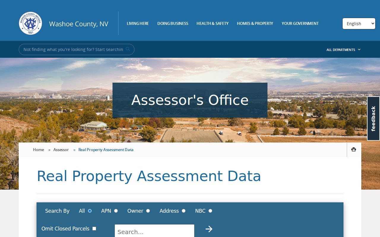
Use the resulting APN and legal description as the bridge to mapping and recorded documents, rather than treating the mailing line as a residence claim.
Browse Washoe County Streets in WRMS
Washoe Regional Mapping System, or WRMS, is the spatial part of the street directory process. It accepts Address, Street, Street Intersection, and Parcel Number searches. Address and street searches offer suggestions in many cases, while intersections and parcel numbers may require an exact entry. After a parcel is selected, related links can lead to assessment, tax, FEMA, and document information. Parcel, roads, imagery, contour, fire-hazard, park, and road-jurisdiction layers can give useful context without changing what the underlying property record proves.
The official map also offers several basemaps and a PDF export. Its parcel outlines are not for resolving a legal boundary or measuring a lot. To examine a full segment, use Street mode, select a parcel polygon in turn, and record each APN and situs before opening the corresponding CAMA card. That parcel-by-parcel method is more dependable than assuming one street result represents all addresses along the road.
The WRMS parcel viewer illustrates the address, street, parcel, identify, and layer controls available for a Washoe County street directory search.
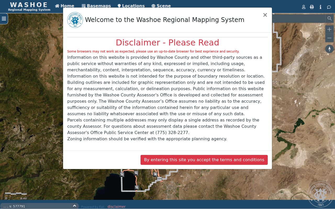
A map hit provides a parcel location and links, not a complete list of occupants or a surveyed boundary.
Separate Washoe County Address Fields
Four labels that look alike can point to different facts in Washoe County records. Keeping them separate avoids a common street-directory error: treating a tax correspondence address or a ZIP area as proof that someone lives on the parcel. A plat is a recorded map that lays out lots, blocks, streets, or easements. A criss-cross directory is a historical reverse volume that begins with an address rather than a person’s name.
- Parcel or APN
- The assessor identifier that ties the CAMA card and parcel map to a particular piece of land.
- Situs address
- The physical parcel location used by Assessor and GIS records.
- Mailing address
- The tax-correspondence destination, which may be elsewhere.
- Legal description
- The lot, block, subdivision, or metes-and-bounds locator used in a deed or map.
- Postal ZIP
- A delivery geography that can cross municipal and county lines.
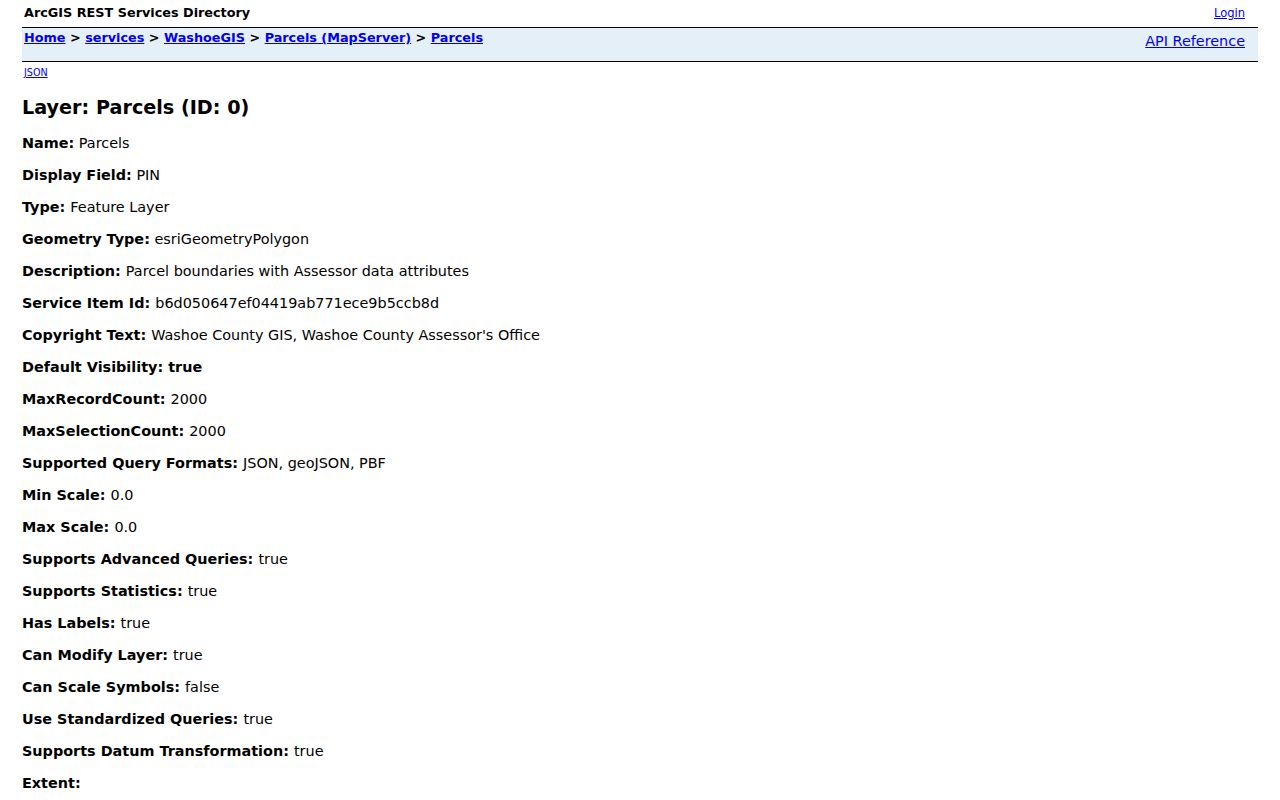
The county’s parcel GIS layer documents the field types available for parcel-level review, including address, owner, mailing, sale, valuation, and physical-characteristic data.
The separate address-point layer carries municipality, source, date-added, confidence, and ZIP fields for mapped address points.
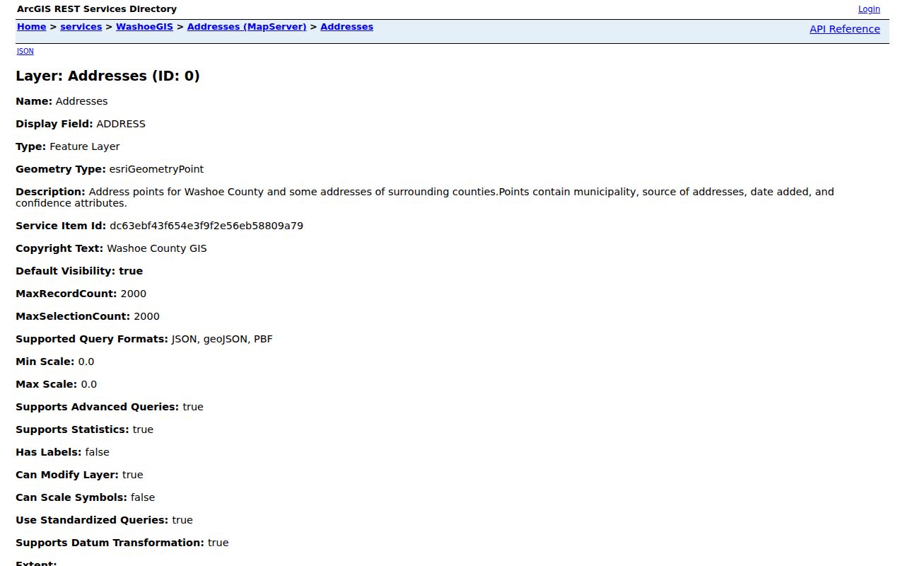
Those layers make it easier to compare record keys, but their fields can change and do not turn an address point into a household record.
Take a Washoe County Parcel to ICRIS
Once CAMA supplies a current owner and a likely transfer date, move to the Recorder’s ICRIS index. Recorder instructions call for a party name in last name space first name form, with no comma, and recommend an approximate year. Search the current owner as a grantee near the purchase period. From the deed, capture the grantor, grantee, document number, recording date, and legal description. Then search the prior grantor as a grantee in an earlier period. Compare the legal description at each turn rather than following a name alone.
ICRIS places real-property index entries online from November 1991 and document images from August 16, 1999. Earlier books and microfiche are held at the Recorder counter. The Recorder’s APN indexing began in 2016 and can attach an APN retroactively, so it is a discovery aid, not final proof. A recorded deed establishes a title transfer. It does not establish who occupied the address at a particular time.
A typical Recorder result can identify the principal party, party role, document type, recording year, document number, and older book or map placement. It may also expose an APN in the later APN-oriented route. Review the instrument before relying on that link, because the Recorder warns that retroactive APN attachment can return related or false associations. For an older entry, note the book or microfiche reference, then take that identifier to the counter rather than expecting an online image.
Note: The Recorder provides free index viewing, while plain copies are listed at $1 per page and certification adds $4.
Track Washoe County Street Changes
Reno’s address grid adds a local twist to historic street searching. The Truckee River divides north and south numbering, while Virginia Street divides east and west numbering. Block numbering has downtown exceptions, and the ordinance permits an old number to remain for up to 60 days after a change notice. When an older directory or deed does not line up with a present CAMA situs, compare the old number, the current name, the APN, and the legal description instead of assuming the record is wrong.
The Regional Street Naming Committee serves unincorporated Washoe, Reno, and Sparks. Its records give concrete aliases to search. In 2015, Leadership Parkway became Keystone Canyon Parkway and Victory Lane became Casa Bella Way. In 2021, several Experience District private streets changed names, including Roselite Drive to Red Drive and Great Park Avenue to Experience Avenue. The same minutes also record Bloom Lane to Park North, Mosaic Lane to Park South, Olivine Way to Makers Way, and Ammil Street to District Street.
The Regional Street Directory and naming page is the county route for checking recorded or reserved street names and the applicable forms.
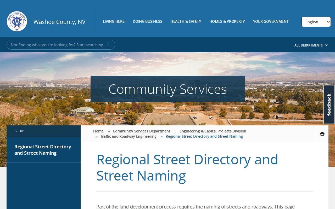
Search both names with the parcel identifier and an approximate year when a historical address crosses a rename.
Check Washoe County Permit and Code Dates
Permits and code cases add dates to the property trail. County guidance routes address and APN property questions to OneNV and County Community Services. A public case can show a case number, address, status, dates, description, and sometimes names or contact information. Availability varies, and criminal enforcement material can remain sensitive until a matter closes. A permit date can help date construction or an alteration, but it does not identify every person connected to an address.
Use Washoe property and code guidance to locate the OneNV route. For a record that is not available in a portal, send a focused request to the particular custodian under the Nevada Public Records Act, NRS Chapter 239. Include the address, APN, case or document number, date range, and preferred delivery format.
Read a Washoe County Street in Reverse
Reverse and criss-cross directories are the historical address-to-name tool. Start at a street address in the reverse volume, then find the person in the ordinary name section. Depending on the volume, that second entry may carry an address, phone, occupation, spouse reference, or a publisher’s occupancy marker. Publisher abbreviations vary, so preserve the volume’s own key before drawing a conclusion. The public library pages do not promise a continuous reverse run, so confirm the exact volumes with Downtown Reno staff.
Old address evidence is best checked against adjacent directory years, contemporary newspapers, census geography, and recorded title. For the historical collection details rather than modern parcel work, use the Washoe County city directory resource. It keeps the street-level chain from becoming a second catalog of the same shelf holdings.
Note: A historical directory can document a printed listing for its publication period, not a present address or relationship.
Washoe County Address Records by Street
Different address-keyed sources answer different questions. Pairing them prevents a street search from overstating what one record can show.
| Washoe County record | Street key | Useful return | Access route |
|---|---|---|---|
| Assessor CAMA | Situs, APN, owner | Owner, mailing line, legal description, transfers | Free online search |
| WRMS and parcel layer | Address, street, intersection, APN | Parcel geometry and linked assessment information | Free map and GIS layer |
| Recorder ICRIS | Party, year, document | Grantor, grantee, document date, legal description | Online from 1991; counter records earlier |
| OneNV or code route | Address, APN, complaint | Property event dates and public case status | Portal or custodian request |
| Reverse directory | Street and address | Historical printed occupant listing | Library shelf or staff assistance |
| Voter records | Regulated individual or list request | Registration and civic geography within legal limits | State lookup or Registrar request |
The Washoe Registrar’s address-to-district tool can return precinct and district geography from an address, but it is not a name search. Nevada’s individual voter search requires identifying fields and a CAPTCHA. A request for a voter list is governed by NRS 293.440 and the withholding rules in NRS 293.558.
Limits of a Washoe County Street Directory
A Washoe County street directory can help identify parcel owners, recorded parties, public property events, and historical printed address listings. It cannot create a complete household list. Parcel data can represent more than one address, owner mailing lines can be off-parcel, and people who have no relevant public record will not appear. Protected voter locations, confidential vital records, sealed court material, driver records, utility use, and delivery information remain outside this search path.
Lawful use. Use Washoe County address records for personal, lawful research and respect confidentiality limits. Do not use a record to stalk, harass, intimidate, or harm another person.