
Washoe County ZIP Code Directory Coverage
Washoe County’s hosted boundary service describes 30 representative postal areas that are maintained from E911 data under USPS instructions. It also includes polygons outside the county and can return duplicate records. The service was last updated July 5, 2023. Its fields include ZIPCODE, POSTOFFICE, COMMUNITY911, polygon ID, and geometry. The table preserves the county GIS community clues, not a promise that every row is an active street-delivery label. USPS should verify one exact address before any mail or record request is sent.
| ZIP | Washoe area covered | Post office or community clue | Research note |
|---|---|---|---|
| 89402 | Lake-area polygon | Crystal Bay | Verify exact delivery address with USPS. |
| 89412 | Rural Washoe | Gerlach | Rural community clue. |
| 89424 | Rural or tribal-service geography | Nixon | Verify the service address. |
| 89431 | Sparks postal area | Sparks | Postal geography, not a city boundary. |
| 89432 | Sparks postal use | Sparks | Individual USPS check needed. |
| 89433 | Sun Valley | Sun Valley | County GIS returned duplicate polygons. |
| 89434 | Sparks | Sparks | Includes the reported I-80 east realignment. |
| 89435 | Sparks postal use | Sparks | Individual USPS check needed. |
| 89436 | Spanish Springs and Sparks area | Sparks | Duplicate GIS polygons can occur. |
| 89439 | Verdi | Verdi | Verdi postal area. |
| 89441 | Rural northeast and Sparks area | Sparks | Postal-area clue. |
| 89442 | Rural Washoe | Wadsworth | Wadsworth postal area. |
| 89450, 89451 | Lake-area service | Incline Village | 89450 needs individual verification; 89451 is an Incline clue. |
| 89501 | Central Reno | Reno | Central postal area. |
| 89502 | South and east Reno | Reno | County context associates Hidden Valley with this area. |
| 89503 | Northwest and central Reno | Reno | Postal-area clue. |
| 89504, 89505 | Reno postal use | Reno | Individual USPS check needed. |
| 89506 | Lemmon Valley and Stead context | Reno | Community association, not a legal border. |
| 89508 | Northwest rural Reno area | Reno | Delivery geography can extend beyond city limits. |
| 89509 | South-central Reno | Reno | Postal-area clue. |
| 89510 | Rural northeast postal geography | Reno | I-80 east note directs part of the area to 89434. |
| 89511, 89512 | South Reno; north Reno | Reno | Washoe public offices use 89512. |
| 89513, 89515 | Reno postal use | Reno | Individual USPS check needed. |
| 89519, 89520 | Southwest Reno; state or county mailing use | Reno | 89519 has duplicate polygons; verify 89520 delivery type. |
| 89521 | Southeast Reno and Pleasant Valley context | Reno | Community association, not a legal border. |
| 89523 | West and northwest Reno | Reno | Postal-area clue. |
| 89557, 89595 | Special postal use | Reno | Use USPS for an individual address. |
| 89703, 89704 | Outside-Washoe overlap | Carson City | Not Washoe city ZIPs despite GIS overlap. |
The Washoe hosted ZIP boundary service is the source for the representative-polygon warning and the mapped postal fields.
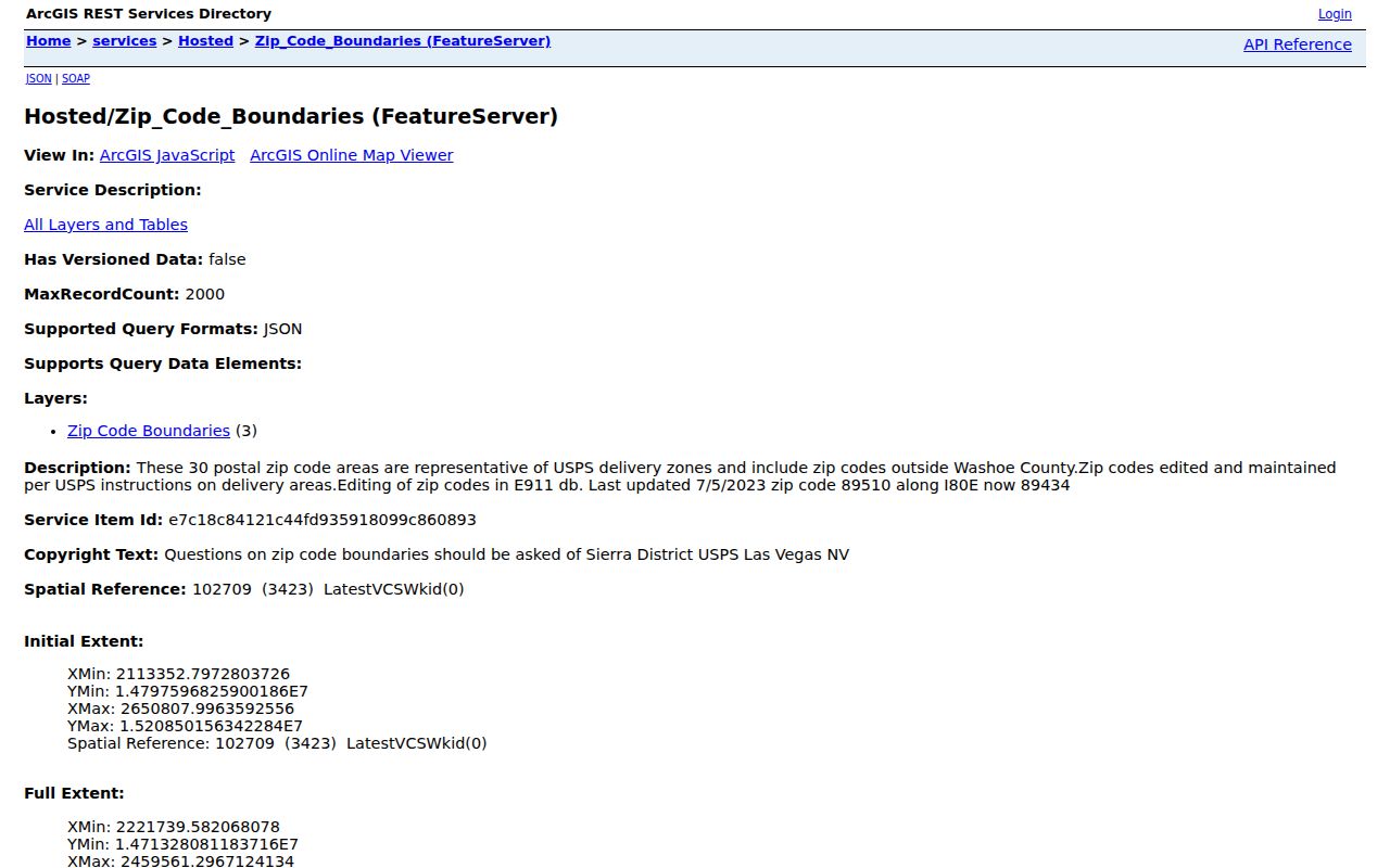
Use a polygon as a geographic lead, then compare it with the parcel, city, and USPS results for the address in question.
Washoe County Rural and Lake ZIP Regions
The county’s postal geography reaches well beyond the Reno and Sparks core. Gerlach, Nixon, Wadsworth, Verdi, Crystal Bay, and Incline Village appear in the GIS table as community or postal clues. This matters when a person or property record uses a familiar postal city but the parcel lies in rural Washoe or near the lake. The county climate material estimates roughly 30,000 rural residents, about 6% of the county population, and identifies Gerlach and Empire among its rural communities.
Do not turn those associations into a delivery guarantee. For example, 89450, several Reno labels, and special postal uses still need an address-specific USPS check. The Washoe place-and-people material provides the community and postal context that helps distinguish a broad area from a municipal boundary.
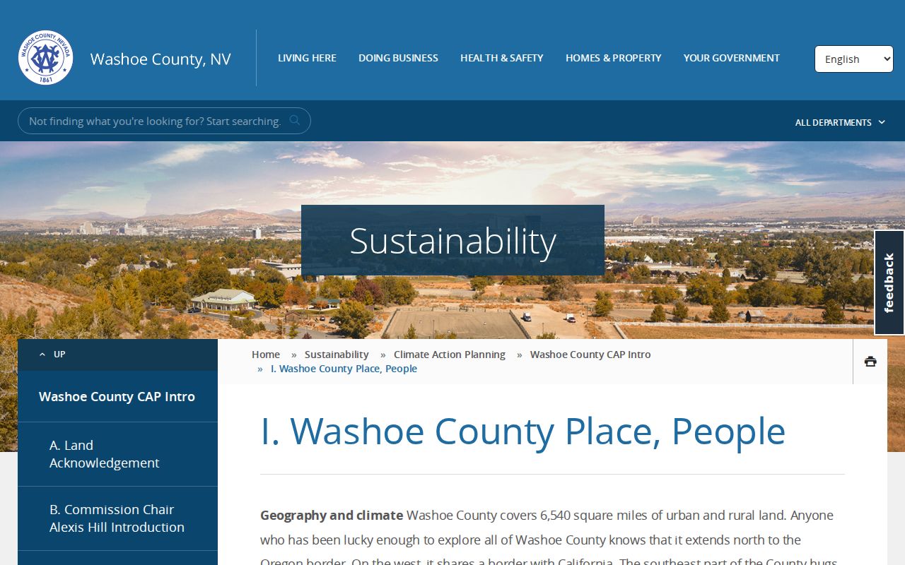
Community names can narrow a search, but a parcel’s situs and its governing jurisdiction need their own confirmation.
Washoe County Reno and Sparks ZIP Clusters
Reno and Sparks have dense clusters of postal labels, yet the label is not the same as the city limit. The research associates 89506 with Lemmon Valley and Stead, 89433 with Sun Valley, 89436 and 89434 with Sparks, 89502 with Hidden Valley, and 89521 with Pleasant Valley. These are useful search prompts when an address or directory entry gives only a postal area. They are not parcel-level boundary descriptions.
Start with an exact address in WRMS or CAMA, then compare the returned situs city and ZIP field. A Reno mailing address can be in unincorporated Washoe, and a municipal address can have a postal city that differs from the governing municipality. This distinction matters for finding the right recorder, assessor, permit, or local-government record custodian.
Washoe County Postal Shift Along I-80
The county ZIP service notes a useful continuity issue: the 89510 area along I-80 east is now 89434. A historic directory, old correspondence line, or earlier property record can therefore carry a label that does not match a current map query. Search both postal labels alongside the street name, APN, and legal description before deciding that two records refer to different places.
This is one example of why a postal field should narrow a search rather than serve as its final answer. The stable comparison points are the parcel number and legal description. They can bridge a postal change, a street rename, or a difference between a city label and the mapped situs.
Note: The county service reports this update, but the current USPS result for a specific address remains the delivery authority.
Verify Washoe County ZIP Codes
The official USPS ZIP Code Lookup is the right tool when the question concerns one real address. It is not a resident roll and it does not return a history of people at the location. Its value is simple: it checks the mailing format and postal assignment before the search moves to a county address record, map, deed index, or public-request form. That order avoids using a representative GIS polygon as though it were an exact delivery instruction.
- Enter the full street address, city, and state in the USPS address lookup.
- Record the returned mailing ZIP and any displayed ZIP+4 result for the exact address.
- Compare that result with the CAMA situs and the WRMS city and ZIP fields.
- Use the physical address or APN, rather than the postal result alone, in Assessor, GIS, and permit searches.
- Keep both labels in a search note when a historical record predates a documented postal change.
The USPS lookup screen is the address-specific verification route for the Washoe County ZIP code directory.
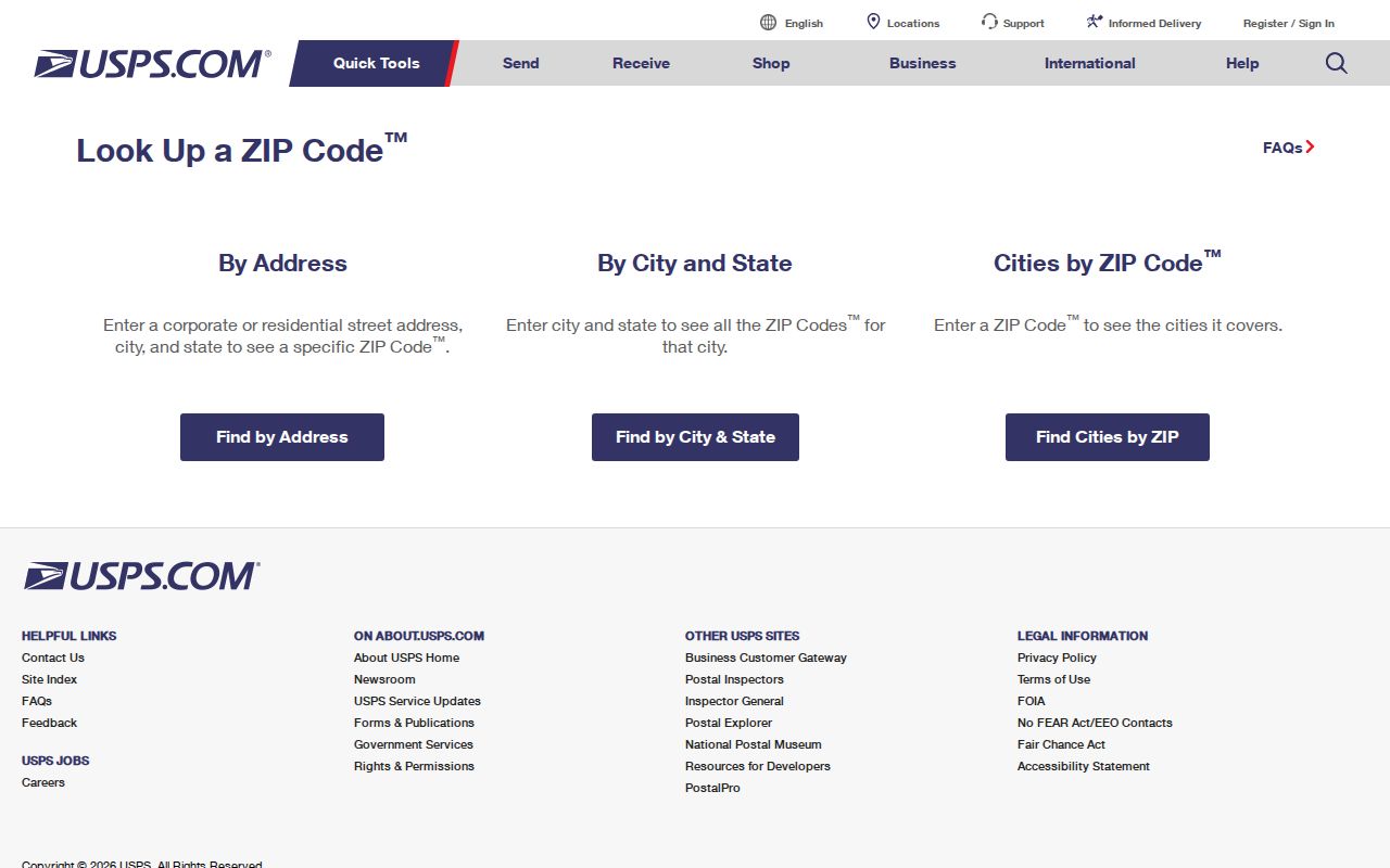
After USPS confirms the postal result, use county property sources to identify the parcel and its recorded history.
Search a Washoe County ZIP Code Carefully
Washoe County portals do not offer one broad ZIP-wide people search. CAMA has documented modes for owner name, situs/address, APN, and Assessor book/page. WRMS searches an address, street, intersection, or parcel number, then displays related data that can include ZIP. The voter lookup is an identity-based individual search, and ICRIS uses party name and year. OneNV may accept address or APN, but a ZIP filter was not verified. Treat a postal label as a way to organize address checks, not as a substitute for them.
| Official route | Documented search field | ZIP use | Limit |
|---|---|---|---|
| Assessor CAMA | Owner, situs, APN, book/page | ZIP appears on parcel data | No ZIP-wide CAMA mode was located. |
| WRMS | Address, street, intersection, parcel | ZIP is available in mapped parcel or address data | No ZIP-wide resident export was located. |
| USPS lookup | One full address | Confirms postal assignment | Not a historical or resident index. |
| Nevada voter search | Name, birth date, ID route, CAPTCHA | None documented | Individual, lawful-use lookup only. |
| Recorder ICRIS | Party name and recording year | None documented | Party-and-year, not address-keyed. |
The USPS Reno-area prefix list supplies postal-geography context, while the address lookup above verifies an individual address.
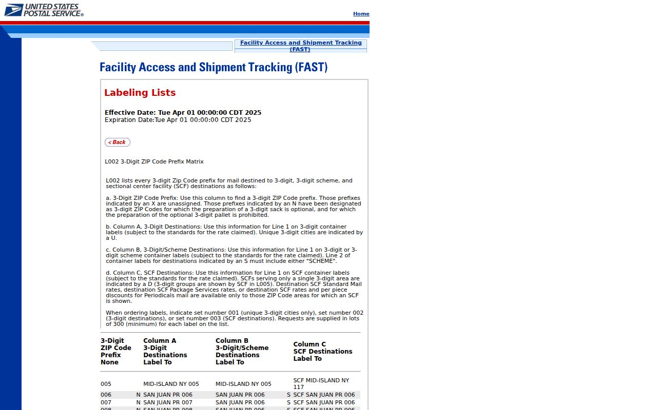
The prefix material is useful background, but it does not replace the full-address USPS result or a county parcel check.
Separate Washoe County Address Keys
A record search is clearer when the address fields are named precisely. A postal label directs mail. A situs tells the Assessor and GIS where the physical parcel lies. A mailing line tells the tax office where correspondence goes and can be elsewhere. A legal description records the lot, block, subdivision, or metes-and-bounds locator used in deeds and plats. A historical directory address is a printed reference that may need to be normalized through street-numbering and naming records.
- ZIP versus ZIP+4
- The five-digit postal area identifies a broad delivery geography. ZIP+4 adds a more specific delivery segment for an exact mailing address.
- PO-box ZIP
- A postal label used for box service that may not describe physical street delivery.
- Unique ZIP
- A special postal assignment that needs USPS confirmation before it is attached to a location.
- Carrier route
- A delivery sequence used for mail movement, not a boundary of municipal jurisdiction.
- Voter residence
- A regulated registration address with separate confidentiality rules.
For street-level parcel work after a postal area narrows the location, use the Washoe County street directory process. It begins with the situs and APN rather than a ZIP field.
Washoe County ZIP Boundaries and City Lines
Postal boundaries do not match Reno or Sparks corporate limits. A Reno mailing address can sit in unincorporated Washoe, while the county boundary layer can show postal areas such as 89703 and 89704 that belong to Carson City rather than a Washoe city. The hosted service also has duplicate records for Sun Valley, Sparks, and Reno. Count representative polygons with care and do not turn an overlap into a claim that the address is in the county.
Compare four pieces of evidence: the USPS result, the Assessor situs city, the WRMS corporate-boundary layer, and the county ZIP field. For a formal record request, name the parcel, physical address, date range, and the correct custodian. If no online result exists, Nevada’s NRS Chapter 239 process allows a focused request to that custodian, with the county’s general paper-copy guidance listed at $0.05 per page where a special fee does not control.
Boundary check. A Washoe County postal label is useful context, not proof of jurisdiction, residence, ownership, or the full set of people connected to an address.